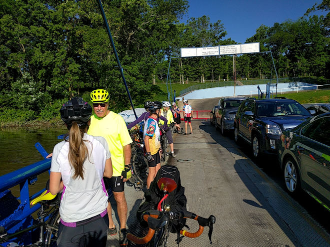
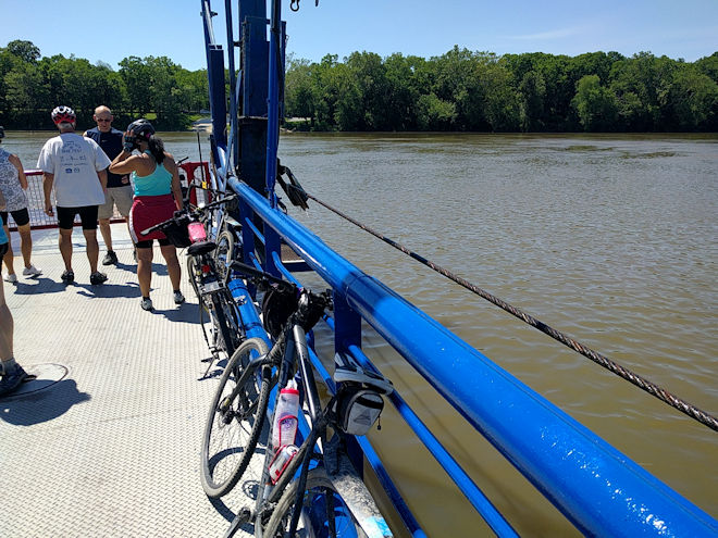
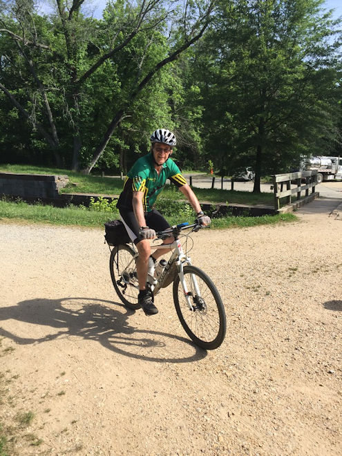
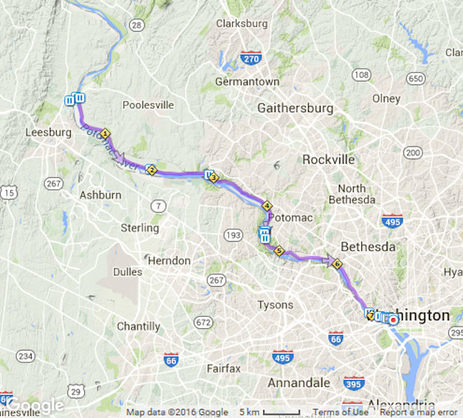
Today was the day that we would return to civilization and the end of our long journey. The 35 miles of trail would not take too long, but the guides reminded us that it is always a good idea to try to clear out of the D.C. area as early as possible — by 2PM at the latest — especially on a Friday afternoon. So after breakfast at the hotel, we piled into the van and retraced our path to White’s Ferry, including another crossing of course. It’s interesting that the ferry is used by many commuters who would be greatly inconvenienced with long detours if it ever went out of commission. With the flow of the river as swift as it is in this stretch, the ferry is guided across by a thick cable. In general, with the flow of the Potomac being augmented by the Shenandoah and other tributaries, it was getting wider, faster, and straighter as we progressed downstream. We were looking forward to this final 37 miles, especially since, having started out five days earlier in the worst weather of the trip, we were finishing on a day where you couldn’t have ordered up any better riding conditions.
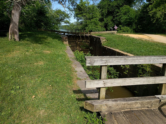
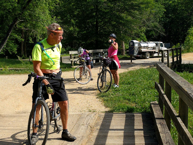
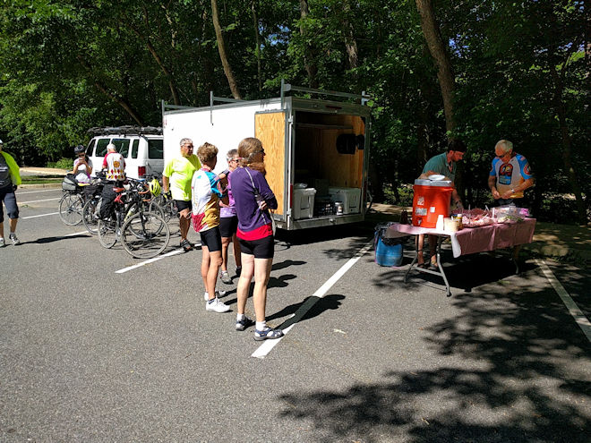
For most of the next 20 miles the trail was the same as on the preceding days, but we could sense approaching civilization by the increasing number of trail users, such as runners, walkers, and local bicyclists. Our final lunch stop was in the parking lot of the Great Falls Tavern Visitors Center, which marks the outskirts of the greater-D.C. area. This is a major tourist attraction — although not very busy at this time — and features canal boat rides on a restored section of the canal, with a working lock. We had one last lunch break under the trees, and then started on our final ride to the finish.
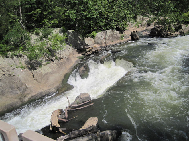
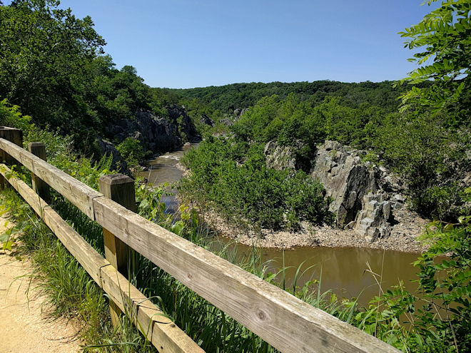
There was one more stop to make along the way to take a look at the Great Falls of the Potomac. These are very impressive features with huge quantities of water flowing over them into a rocky gorge. They are the reason that George Washington declared the river impassable to navigation, and so it remained until the building of the canal.
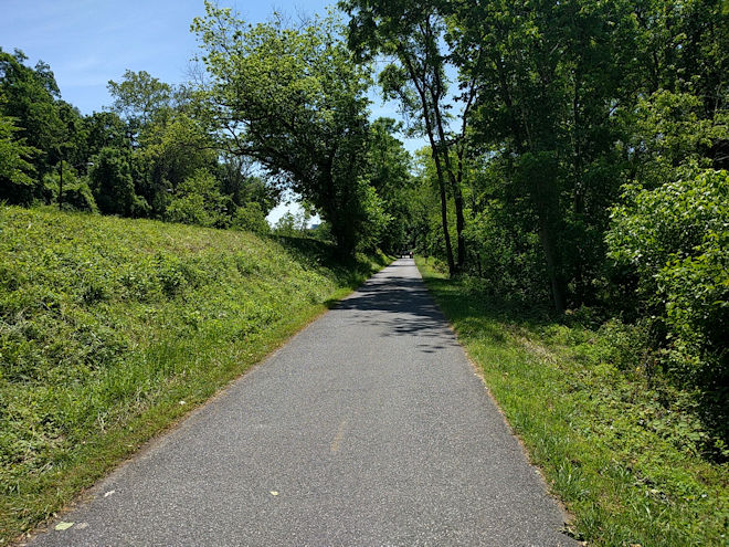
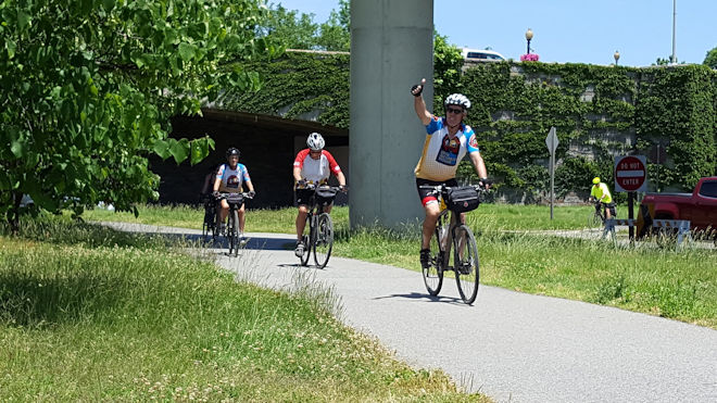
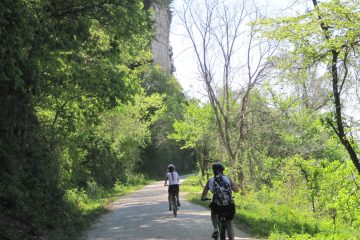
From there on in, it was a sort of “rush to the finish” by the lead group, even though we were able to enjoy the changing nature of the trail. The I-495 beltline is one of the most congested roads I’ve ever experienced, and when I passed under it I expected to be in a much more urban environment. It is surprising, though, at how rural and isolated it still feels along the canal. You start hearing the expected urban sounds — road noise, sirens, planes taking off — but you still can’t see any of it from “down in the ditch” and the surrounding tree cover. But finally, on crossing the actual D.C. border, things start to change and there were a lot more people around. At one point, we took the opportunity to ride on a local paved bike path that parallels the towpath trail for a couple of miles.
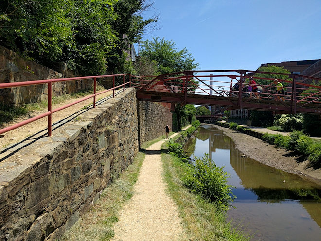
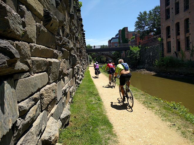
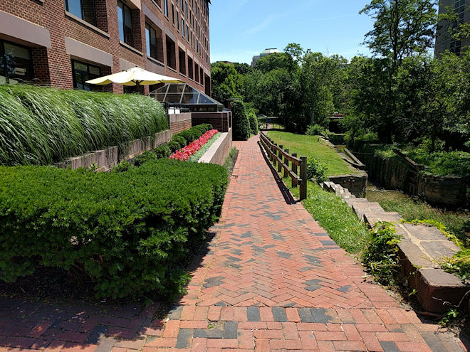
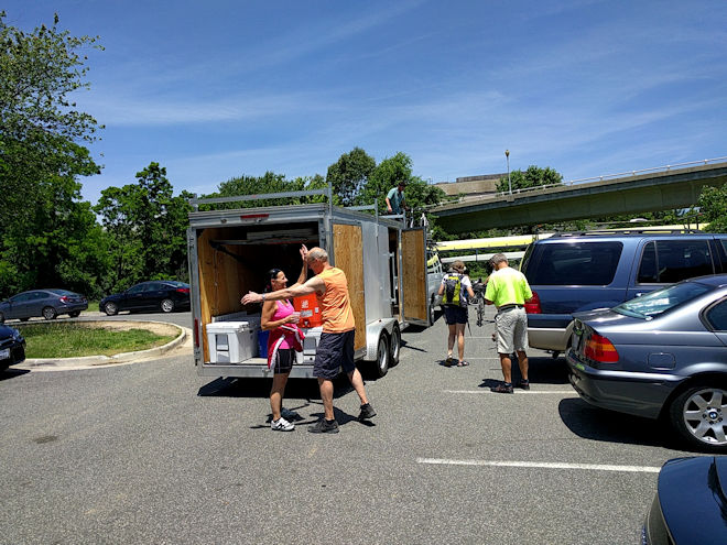
On the final stretch, we rode the path under a couple of road underpasses, crossed the canal on a pedestrian bridge, then proceeded along a very narrow path on the other side below high stone walls. At the end of this path, it was up a short, steep incline and suddenly we were right in the hustle and bustle of Georgetown and its pedestrian and auto traffic! This is always a jolt back to reality and left us with less than a mile to go to the finish. To do so we had to stay on a brick pathway (still following the canal) and cross a couple of streets. However, this was not a problem since the traffic was pretty much gridlocked as usual. A couple of turns later, a careful crossing under a highway interchange and there was the van waiting for us in a parking lot.
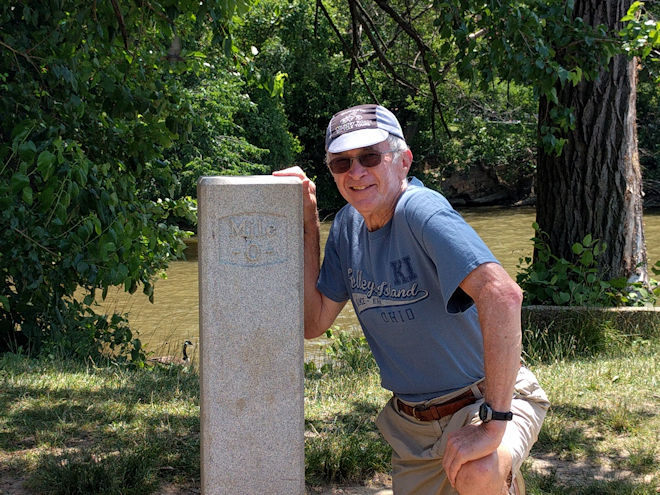
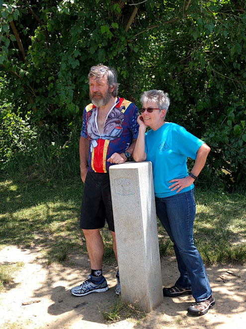
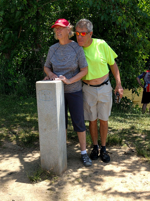
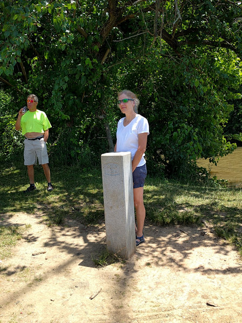
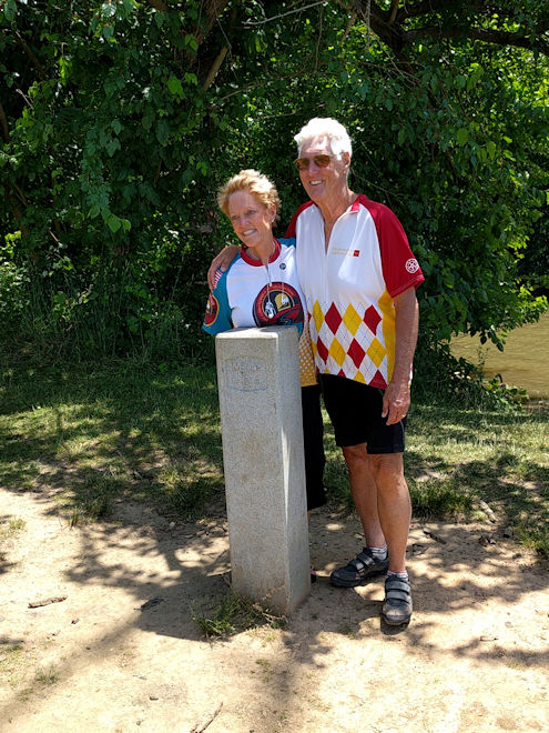
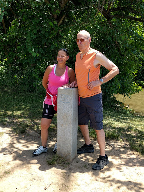
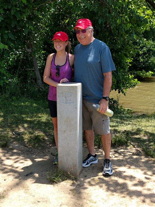
The true milepost zero of the C&O Canal is not that easy to find and would be difficult to ride to, so after our bikes and luggage were stowed and we had changed clothes, we all walked over with Taylor to get our final photos of the Mile 0 marker. Mission accomplished at journey’s end! This was followed by the first of our goodbyes as a few of us were flying back out of the Washington airport. The rest of us departed in the van by 1:30 and had what turned out to be a very smooth, trouble-free return trip to Ohiopyle, although it was somewhat amazing that the distance that took us 5 days to ride only took 4-1/2 hours by highway!
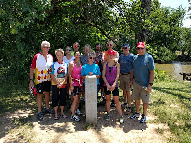
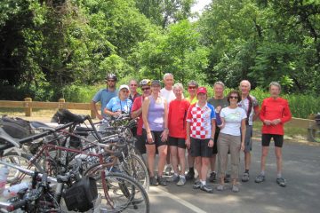
Back row: Joe, Jane, Harold, Pam, Bill, John, Doug (me), Larry
Front row: Barb, Toni, Mel, Mallory
On the (quiet) ride back to Ohiopyle, I reflected on the trip I’d just completed and how it contrasted with my earlier experience. Back then, I had finished with more or less of an “I’m glad that’s over” feeling, even though much of it had been very enjoyable. But this time, I’d gone into it feeling not quite ready and with lower expectations, then finished feeling healthy and strong and almost ready to go back and do it again. As it says on my official Great Appalachian Passage jersey: “The Ride of My Life!”
Once we got back to the starting point, the rest of the goodbyes were said and one by one everyone loaded up their bikes and luggage and departed for various destinations. Another great tour in the books, but I have a feeling that although I’m sure that I won’t do this route again, I might be back in the future to once more make Wilderness Voyageurs my tour operator of choice!
The Finishers
0 Comments