Monday, July 14, 2014
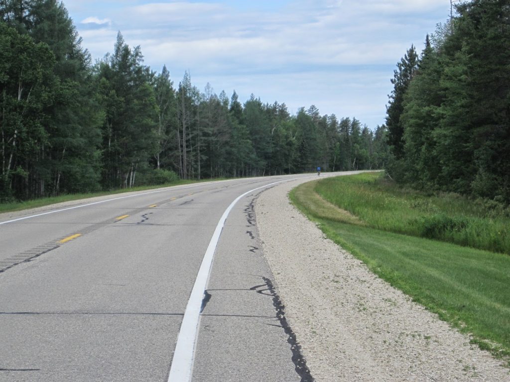
Monday’s route was pretty much a straight shot north on M-94, 50 miles to Munising. Riding on state routes is never ideal, but the U.P. has a dearth of paved roads and often there is no other choice when going from town to town. But at least most of the routes up there have decent paving and wide shoulders and we never really had traffic issues. A bigger issue was the weather, which would be much cooler than normal the first few days with rain possible late Monday and most of the day on Tuesday.
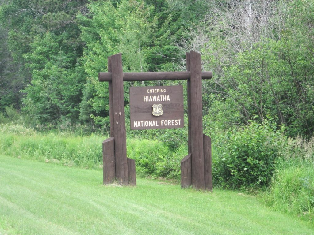
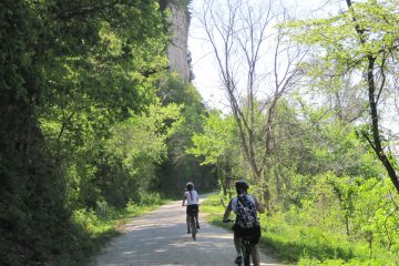
So just after 9AM we started our trek northwards to the home of the Pictured Rocks. This was when I realized that I had ridden too hard the previous day as I started out on tired legs. One other thing that I quickly came to realize as we pedaled up M-94 (into a headwind, of course) is that the scenery in the interior of the U.P. is pretty monotonous: nothing but the road and pine trees. Unlike more populated areas, there are not many towns or attractions to be found in between the larger towns, making a 50-mile ride seem a lot longer than it actually was.
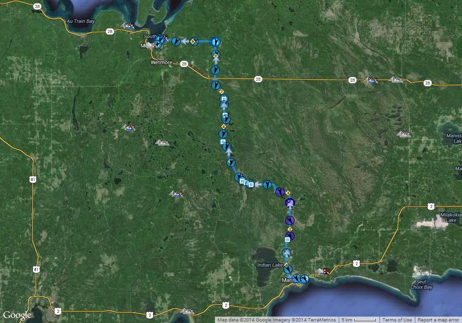
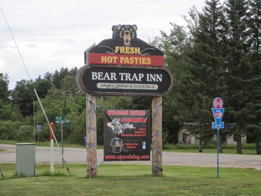
Pam kept us provisioned every 10-15 miles or so, but we were still anxious to get to some place for lunch. We were pretty much on our own, but the consensus choice — suggested by Jim — was the Bear Trap Inn restaurant which we would get to at about 1PM when we were actually within about 10 miles of our destination hotel in Munising. A few miles before this, we left M-94 when it intersected with M-28 — the major east-west route across the U.P. — and went onto quieter, more rural county roads.
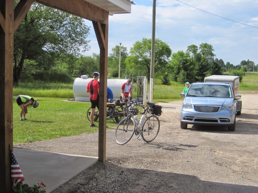
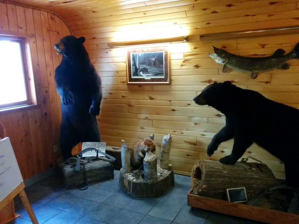
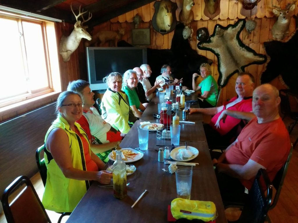
Considering its location where there wasn’t even any cell coverage, the Bear Trap turned out to be a very good choice. They had a lot of local brews on tap and a varied menu with something for everyone. The service was also excellent and nobody was in much of a hurry to continue on into Munising since we knew it was only a few miles away.
The county road going into Munising from the Bear Trap was typical in being rougher and hillier than you would find on a state road. A couple of big down-and-up hills got me a bit concerned about Wednesday when we would be riding this same stretch in the reverse direction, and on top of that my knee was giving me a bit of trouble. It also didn’t help that the last half mile or so to our hotel was down a very significant hill that I was not looking forward to starting that day be going up it!
On arrival, I was not really feeling all that bad and decided that as long as I was already on the bike, I might as well ride the mile or so out to Munising Falls, which is a nearby attraction. Like the rest of the Pictured Rocks National Lakeshore, this is also administered by the National Parks organization and was a nice spot with easy access back to the falls along paths and boardwalks.
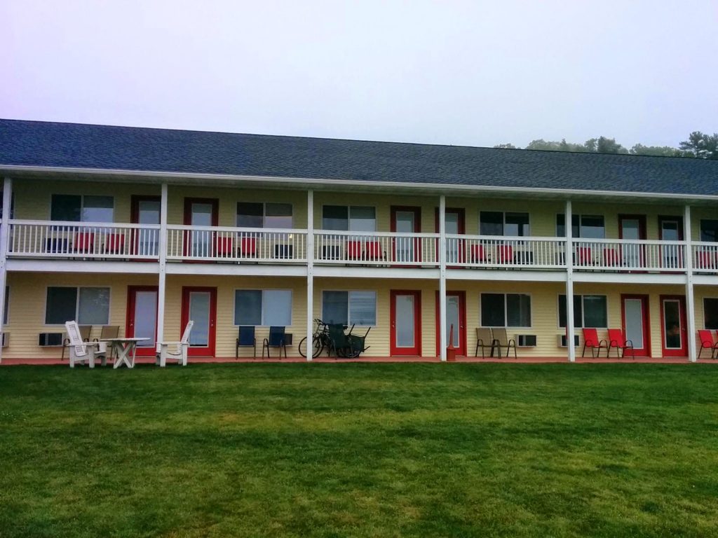
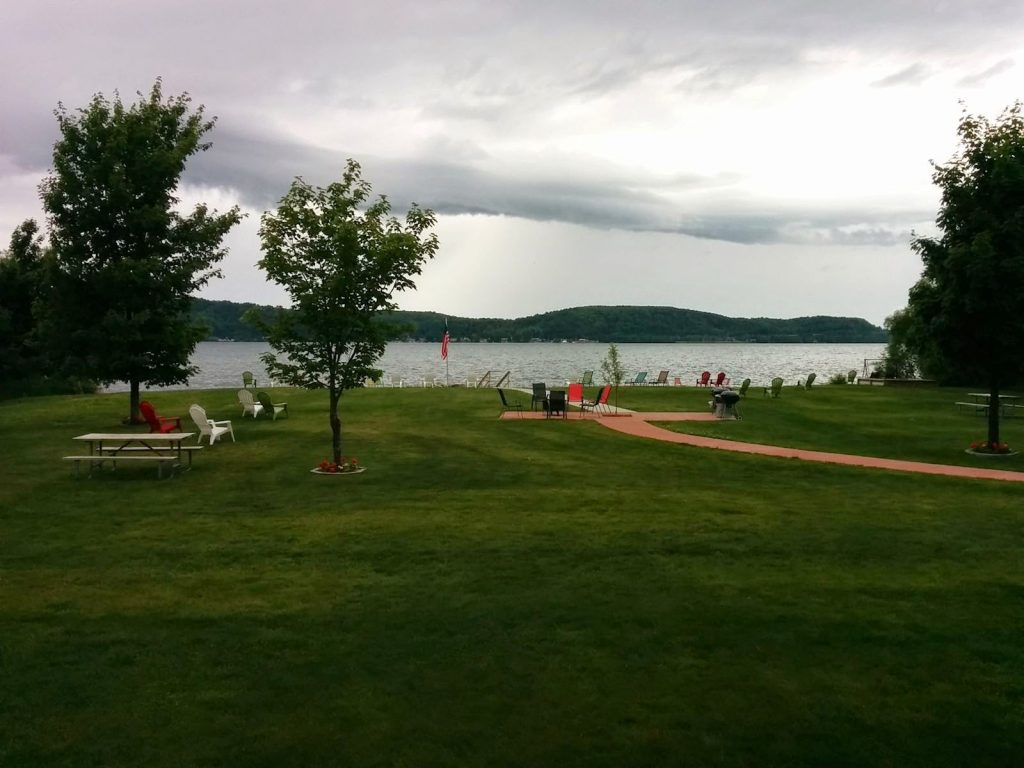
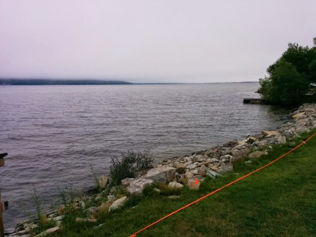
Munising is located on Lake Superior, and the Beach Inn is a fairly new place right on the shore of the bay about a mile from downtown. It would have been an even nicer place to stay if the weather had been warmer, since as it was nobody took advantage of the beach and other outdoor amenities while we were there for two nights. The night we arrived we had a very good dinner — provided by the tour — in town at Sidney’s Restaurant.
0 Comments